A Concise Guide to Planning a Trip to Niagara Falls, Canada
-
 Loading...
 - Dominic Wilson
- 26 May 2022
- 289 Views
- 0 Like
- 0 Comment
NIAGARA FALLS! Stupendous, beautiful,
Enduring monument of the Power Divine!
Thy white-foam pillars ever moving stand,
And ever standing move harmoniously
To the rough music of the dashing spray,
And roaring tumult of thy boiling base.
– From “Niagara Falls: A Poem in Three Cantos’ by James K. Liston, 1843.
1. What is Niagara Falls?
2. Where is Niagara Falls located?
3. How to get to Niagara Falls, Canada?
4. When is the best time to visit Niagara Falls?
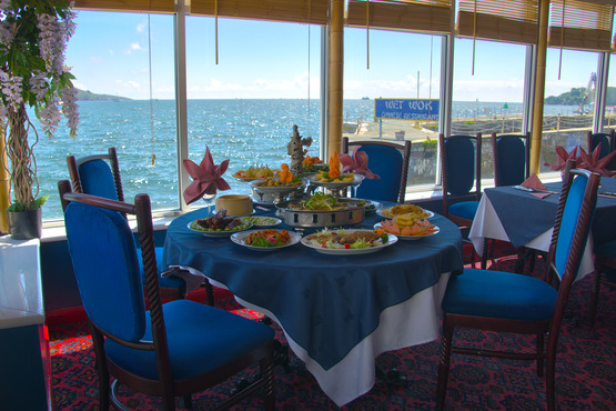
5. Where to stay in Niagara Falls?
What is Niagara Falls?
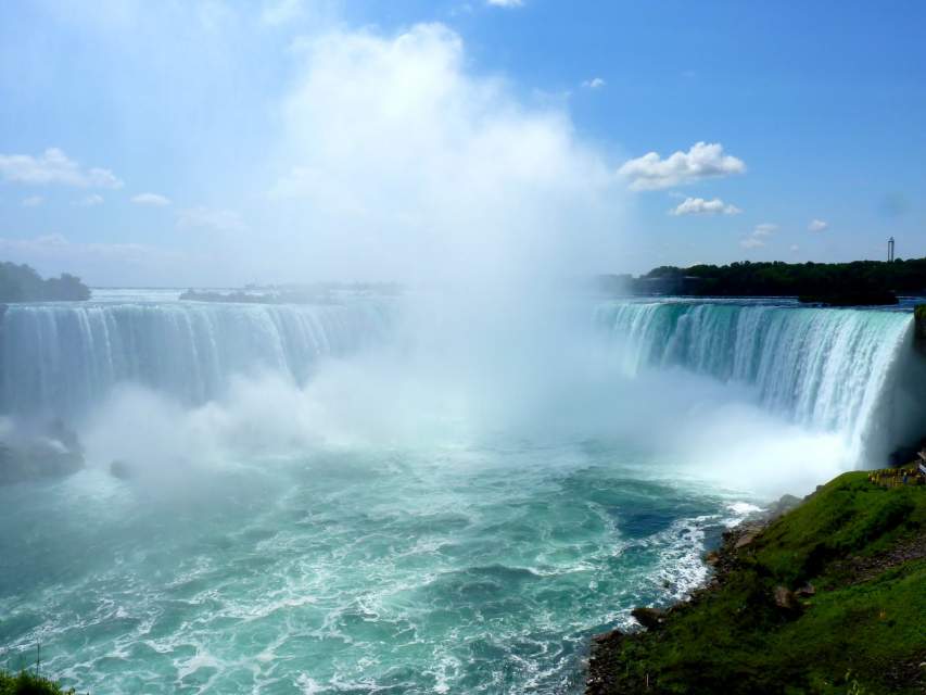
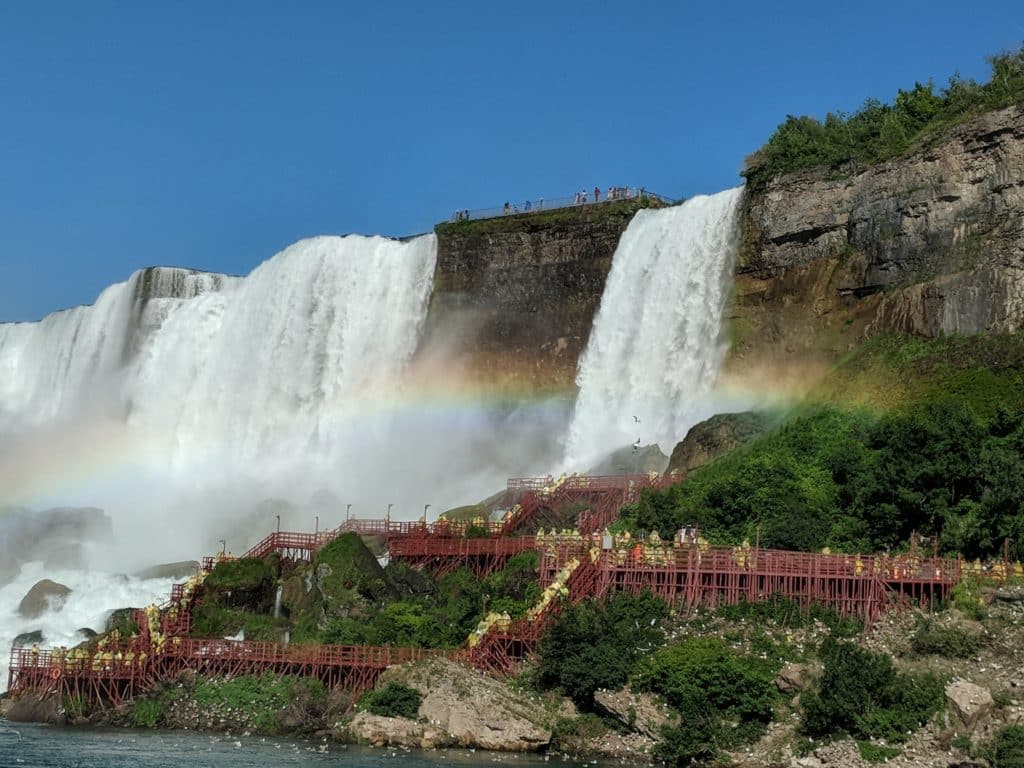
Niagara Falls is the collective name of three sets of waterfalls, namely Horseshoe Falls, Bridal Veil Falls & American Falls. Cities in the Canadian province of Ontario and American state of New York, where the falls are located also share the name, Niagara Falls.
Niagara Falls was formed due to the melting of the glaciers at the end of the last ice age. When the glaciers melted, Lake Erie (one of the great Lakes of North America) emptied into Lake Ontario through the Niagara River causing the gigantic waterfalls. Goat Island (in Niagara Falls State Park, New York) situated upstream in the Niagara River splits the river causing the separation of falls into two – Horseshoe Falls and American + Bridal Veil Falls.
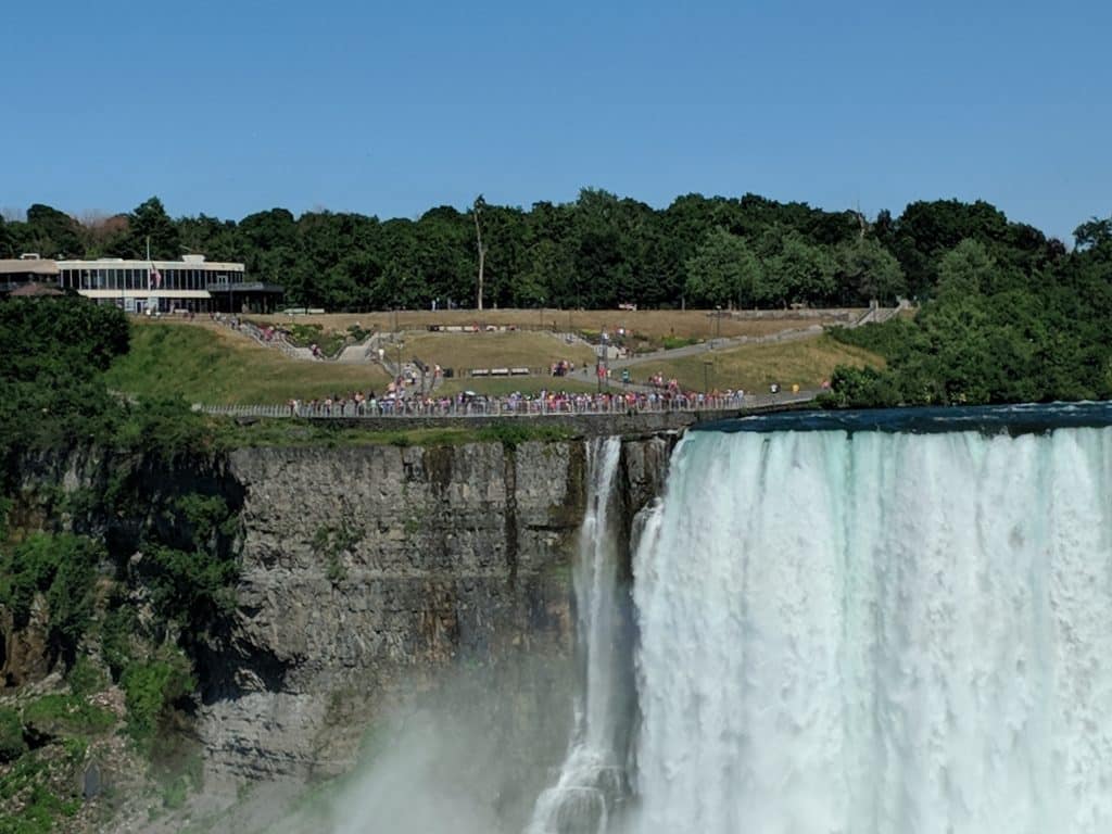
Further downstream, Luna Island splits the Niagara River into American Falls and Bridal Veil Falls.
Where is Niagara Falls located?
Niagara Falls is located along the international border between USA and Canada. While the biggest of the three cataracts, the Horseshoe falls is mostly in the city of Niagara Falls, Ontario, Canada (situated on the western bank of the Niagara River). American Falls and Bridal Veil Falls are located entirely in Niagara Falls, New York (situated on the eastern bank of Niagara River). Best panoramic views of the Falls can be enjoyed from the Canadian side.
Approximate distance to Niagara Falls, Canada from major cities.
1. Buffalo ~ 25miles
2. Chicago ~ 525 miles.
3. Montreal ~ 670 km.
4. New York ~ 420 miles.
5. Ottawa ~ 580 km.
6. Toronto ~ 130 km
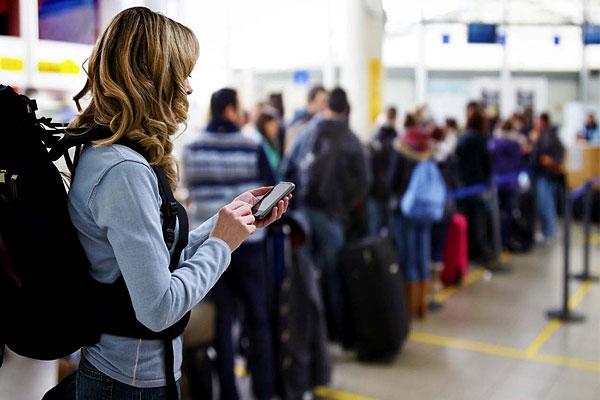
How to get to Niagara Falls, Canada?
I. Travel Documents:
If you are not a Canadian resident – See visa requirements.
Citizens of visa exempt countries require Electronic Travel Authorization (eTA), if they are flying in to Canada.
United States citizens & Green Card Holders do not require a visa.
II. Driving to Niagara Falls, Canada
From Toronto, ON
It takes approximately 1.5 hours (much more with Traffic) to reach Niagara Falls from Toronto area. Highway QEW (Queen Elizabeth Way) is the main route that connects the two cities.
From Buffalo, NY
An approximately 30-minute drive from Buffalo will get you to the majestic Horseshoe Falls. Rainbow Bridge connects Niagara State Park and Niagara Falls. See Border crossing wait times here.
From other parts of US – depending on where you are coming from, you can choose from one of the three bridges to cross the Niagara River to Canada. Approximate Fees: $3.75 US
$4.75 CAD
1. Rainbow Bridge – nearest to the Falls
2. Peace Bridge: Niagara Falls, U.S. to Fort Erie, Ontario
3. Queenston- Lewiston Bridge
4. Whirlpool Rapids – For Nexus Holders
Also, note that Canada follows the metric system and speed limits are in kilometres. Read More…