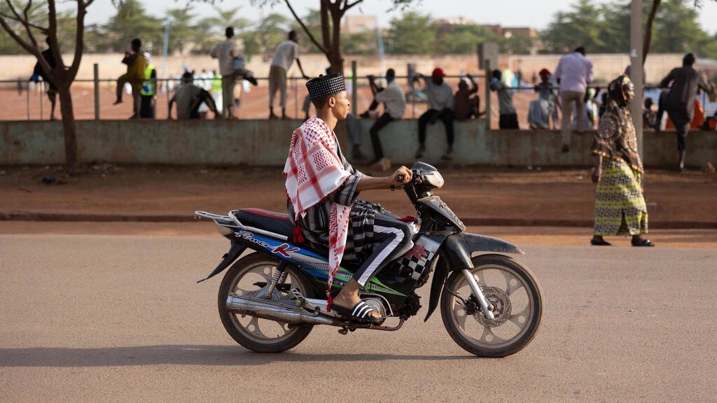
From bus routes to gutters, tech-savvy youth map Mali's capital
-
 Loading...
 - Laura Ansong
- 31 Aug 2022
- 82 Views
- 0 Like
- 0 Comment
"We're collecting data," said the 27-year-old geography student, helping to chart the roadside drains of central Bamako with two friends.
Until recently Mali's capital was largely uncharted on the web.
With street names or fixed public transport routes often missing in the city of some two million, people tend to ask for directions to find their way.
But the lack of maps is a major obstacle to developing its infrastructure -- whether to prevent traffic jams, collect wastewater and rubbish, or prevent flooding.
Tech-savvy young Malians are striving to change this, cataloguing the city's features in the hope it will improve the lives of its residents.
Armed with smartphones, dozens of volunteers have been collecting data for the local branch of OpenStreetMap, a free, online geographic database -- which is then used by sites including Google Maps.
Menta and fellow mappers have been charting the channels collecting waste and rainwater in Daoudabougou, a central district often hit by floods.
The gutter project is receiving financial support from the World Bank, and has been welcomed by the authorities.
But it's just one of the avenues the group is exploring -- and there is plenty more work to do.
Founder Nathalie Sidibe said there was previously "no freely available data in Mali".
"We saw mapping as a concrete way to contribute to developing the area," she said. Read More...