7 must-do hikes in Germany's picturesque countryside
-
 Loading...
 - Logan Devine
- 16 Dec 2021
- 471 Views
- 0 Like
- 0 Comment
Regional tourist offices are on hand to help hikers with maps and local insights, with the walking season running from spring through to fall. Ready to hit these outstanding walking trails when you go to Germany? Here's our pick of the country's best hikes.
Tackle the historic Lutherweg (The Luther Trail) in Thuringia
16km (10 miles), 3-4 hours
The 410km Lutherweg pilgrimage trail winds across the central and eastern German states of Thuringia, Hesse, Bavaria and Saxony, linking together a number of Lutheran churches and monuments from the time of the Reformation.Rather than tackling the entire stretch, casual hikers might consider the largely-forested, 16km (10 miles) leg between Schmalkalden, a historic town crowned by a handsome hilltop castle, and Tambach-Dietharz, which is home to a legendary water fountain that is said to heal all ailments (handy for those blisters!), as well as a convenient bus service back to town (weekdays only; check with the tourist office for times).

Photographers will love hiking Panoramaweg in Baden-Württemberg
45km (28 miles), 2 days
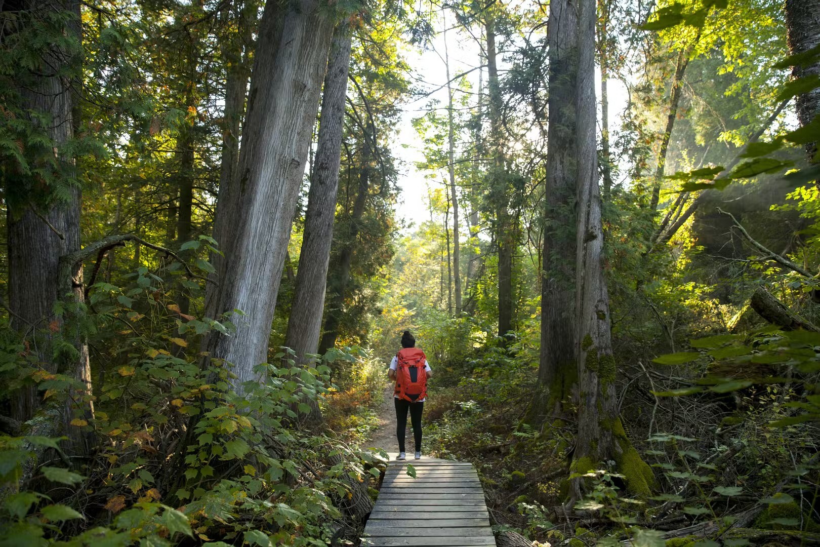
If you want to appreciate the northern Black Forest from its most photogenic angles, there's no better hike than the award-winning 45km (28 miles) Panoramaweg (Panorama Trail), a high-level ridge trail weaving through orchards and thick woodland past waterfalls and amazing viewpoints.
The four-stage hike forms a circular route starting and ending in Baden-Baden's charming old town, with a suggested overnight stop at the Waldhotel Forellenhof near Oberbeuern. For a map, drop into the main Baden-Baden Tourist Office, situated 2km northwest of the centre. Buses run back to town from all stage end points, meaning walkers can pick a shorter segment if running low on time (or energy).

Stroll the vineyards of the Rotweinwanderweg in Rhineland-Palatinate
36km (22 miles), 2 days
Along with being particularly picturesque, the Ahr Valley is known as one of Germany's top red-wine regions. The best way to sample the produce that put this area on the map? The wonderfully named Rotweinwanderweg.
Paths along the well-signed trail web together the Ahr Valley's numerous vineyards, while taking in some of the valley's best hilltop views. The full trail, which runs from Altenahr to Bad Bodendorf is almost 36km, but it's broken up by wine-tasting rooms and cute villages that entice walkers to linger a little. During harvest season, stalls appear along the trail with wineries selling vintages from previous years. For those short on time, the 6.7km Bad Neuenahr–Ahrweiler segment is perhaps the prettiest.

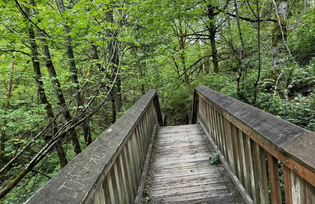
Explore the wild gorge of Wutachschlucht in Baden-Württemberg
13km (8 miles), 3-4 hours
Wutachschlucht is a wild gorge, carved out by the fast-flowing Wutach river, a tributary of the Rhine, and flanked by near-vertical rock faces. The spectacular landform is located near the town of Löffingen, close to the Swiss border and 20km (12 miles) east of Schluchsee.
The best way to experience the area's unique microclimate, where you might spot orchids, ferns, rare butterflies and lizards, is on the 13km (8 miles) designated trail connecting Schattenmühle, an old mill turned rustic hotel, to Wutachmühle, a log cabin serving refreshments and hot meals, which leads hikers through the middle section of the gorge. Schattenmühle is a 30-minute walk south of Göschweiler, a southern district of Löffingen. Read More…