French Creek hazard highlights need for safe paddling
-
 Loading...
 - Agnes Janos
- 02 Jun 2022
- 263 Views
- 0 Like
- 0 Comment
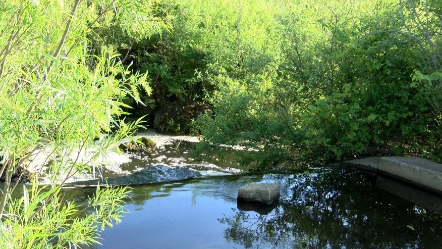
On May 30, the Crawford County Scuba Team posted a warning on Facebook to kayakers, noting a tree in the water that had made the creek nearly 100% impassable just south of the intersection of 6N and Route 19 near Mill Village.
The tree is known as a strainer — a strainer lets the water pass but traps everything else.
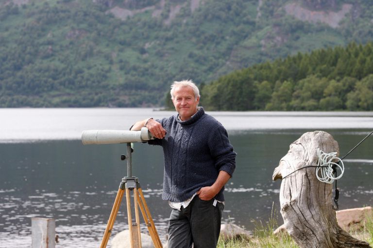
French Creek Valley Conservancy Executive Director Brenda Costa said she had not yet seen the hazard and she wasn’t exactly sure where the hazard was on the river. Based on the description from the scuba team, Costa said the next official public access point is some 14 miles downstream of the hazard.
“That’s not a location where you are getting to it and are able to take out, walk downstream and put back in,” Costa said.
The conservancy is the designated manager of French Creek, but they don’t remove obstructions from the water. Perhaps nature will take care of it over time.
“A lot of times they move after an ice buildup or winter, but there’s no way of knowing how long it’ll be an obstacle in the way,” Costa said. “I don’t know how big around it is.”
This year, the conservancy is putting an additional focus on safety while recreating in French Creek. That comes after a record number of emergency calls to Mill Village Fire Department from the creek last year.
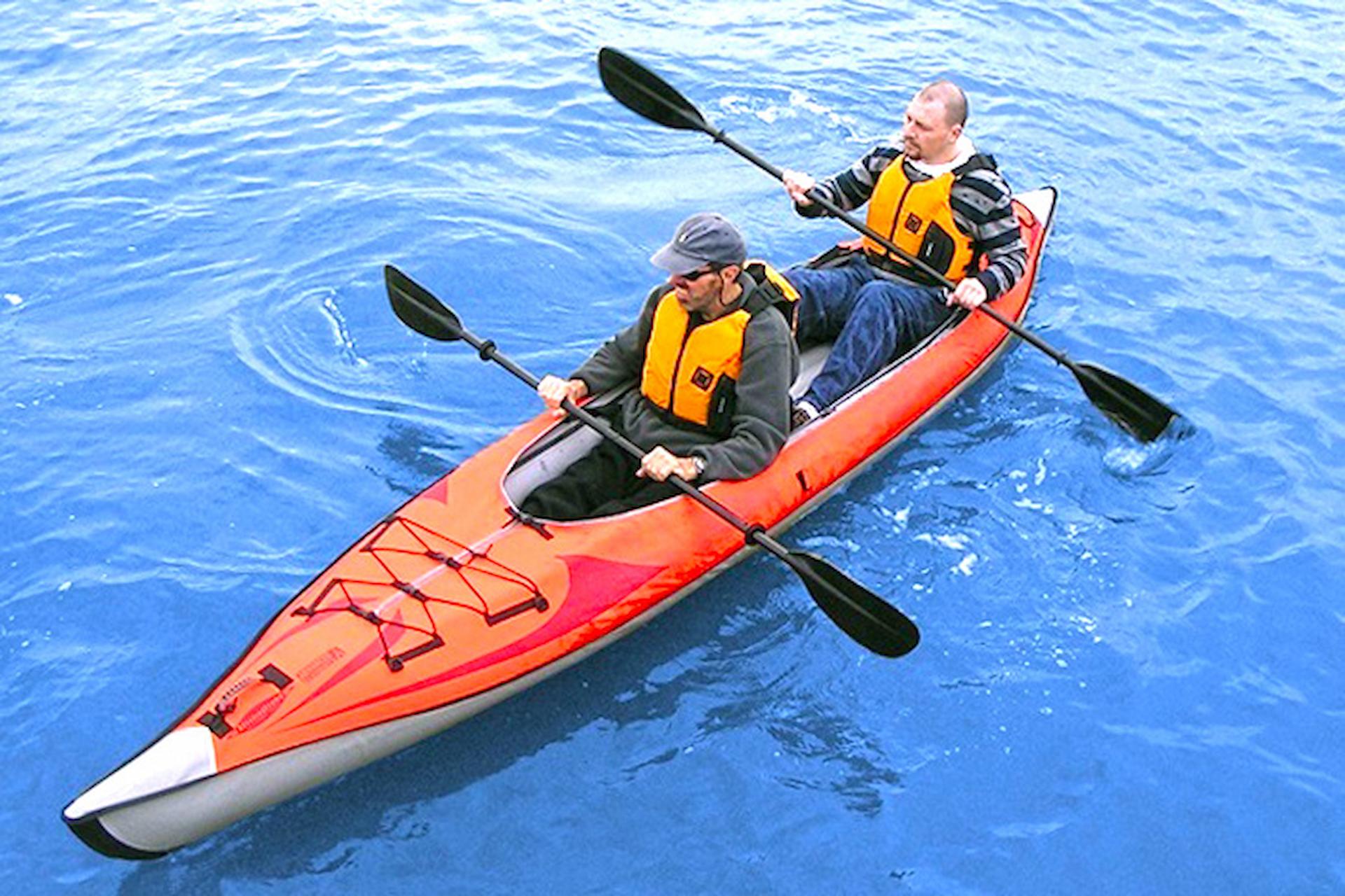
“Kayaking has exploded in popularity. You can pull up to any box store and buy a kayak, but that doesn’t mean you know what you’re doing,” Costa said.
Costa warned that kayakers should be checking water levels before embarking on a kayaking adventure down French Creek. And even then, French Creek’s conditions can quickly change.
“A sunny day is not what makes it a good day to go kayaking. People have to pay attention to water levels,” she said. “This past weekend, French Creek was too high for people to be kayaking, but it was Memorial Day and people wanted to get out and have fun.
“I had a kayaking trip planned and I didn’t go because the water level was too high.”
River gauges are available online (Costa said the gauge near Union City is helpful for Erie County residents). The French Creek Valley Conservancy maintains an interactive map of the French Creek Water Trail on its website.
“When the water level is higher, it’s moving faster. People are less able to control boats if they’re not experienced,” Costa said. “When the water level is high, strainers and rocks are less visible, and there are dangers there you can’t even see.”
“The watershed is 1,200 square miles. If you’re here in Meadville and it’s not raining, but it’s been raining in Erie, you need to pay attention to that because sometimes it’ll make the water level go up as well,” she explained. Read More...