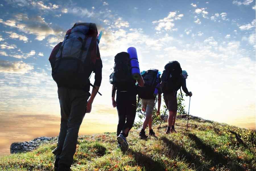
Where to Go Hiking in Paraguay
-
 Loading...
 - Morales Xiamara
- 28 Apr 2023
- 83 Views
- 0 Like
- 0 Comment
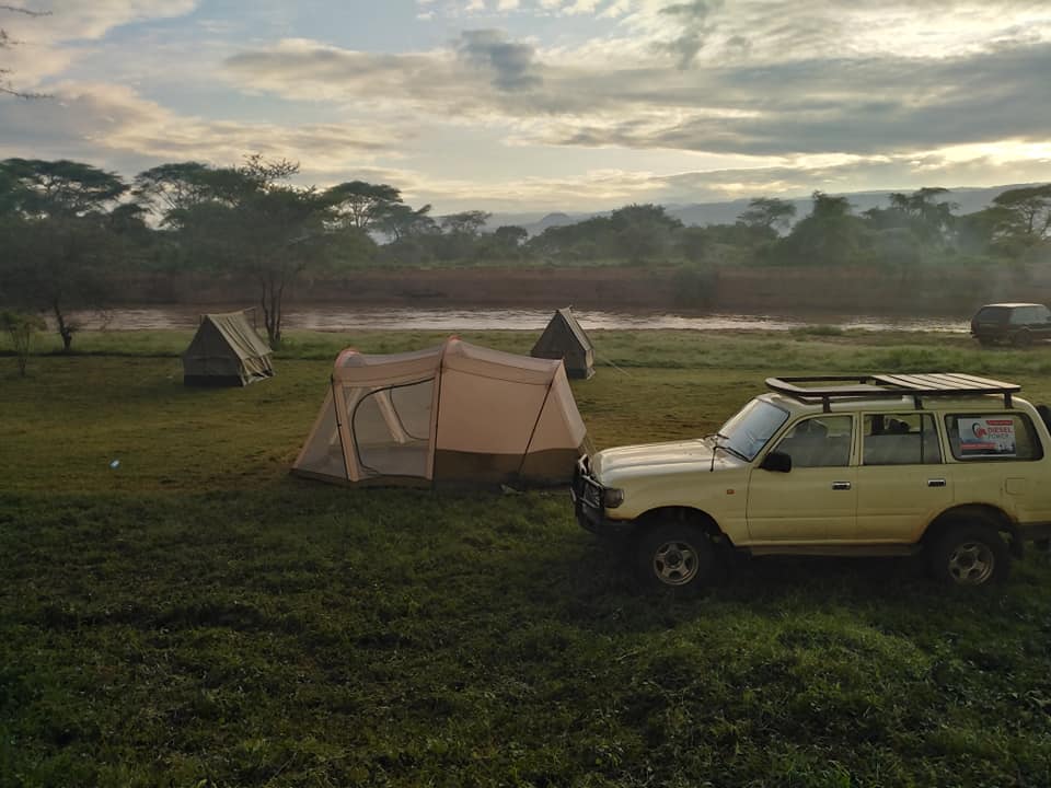
Full of waterfalls, giant animals, and 700 species of birds, Paraguay offers abundant biodiversity, which can be appreciated on walks. Though known for being flat, hot, and humid, the country has several mountain ranges, some with peaks over 2,000 feet, as well as cooler forest trails like Salto Suizo. Choose one of the routes within the country's 15 national parks, including Cerro Corá National Park, or explore trails on private lands, such as the circular trail at Puerto Olivares Station. Many of these routes have campsites nearby, while others, such as Cerro Verá, offer wild camping. Some trails in the country, especially those in the Chaco, will have little traffic.
Regardless of which trail you choose, always bring sunscreen, bug spray, and plenty of water. If you are going to visit national parks, consult the SEAM (Secretary of the Environment) in Asunción to obtain the permits you need.
1. Cerro Tres Kandu
Cerro Tres Kandú rises 2,762 feet (842 meters) above the city of General Eugenio A. Garay, attracting those who wish to scale Paraguay's highest peak. Also known as “Cerro Peró,” hikers climb to the top along its 5.4-kilometer round-trip trail. Mostly cut by woods, the trail offers plenty of shade and two lookouts to admire the surrounding fields. It takes about an hour and a half to reach the top, with the first 30 minutes being an easy hike on a hilly road. After that, the road becomes increasingly difficult; in some sections, hikers need to scale rough terrain using installed ropes and walk on wooden ledges.
Although rated as difficult, the trail is a popular activity on the weekends and can be crowded with local hikers. The campground is available near the trailhead (for the equivalent of $ 10 a night) and is recommended if you want to get an early start. Note that there is a small fee to go up the hill, which is charged by an attendant near the trailhead.

2. Salto Suizo
Salto Suizo is a 60-meter high waterfall surrounded by natural pools and the hills of the Ybytyruzú Mountain Range. The national reserve can be reached by walking a 12 km route, which begins in the nearby town of Melgarejo. The route winds through streams and massive rocks, with vines and pencil-thin tacuaras stretching overhead. Read More…