Four spectacular hikes to try around Zurich
-
 Loading...
 - Eugene Martinez
- 02 Feb 2023
- 80 Views
- 0 Like
- 0 Comment
Switzerland is known for its stunning scenery, but how can you make the most of it? The Local spoke with an experienced hiker to find out how you can spend time in nature around the Zurich area.
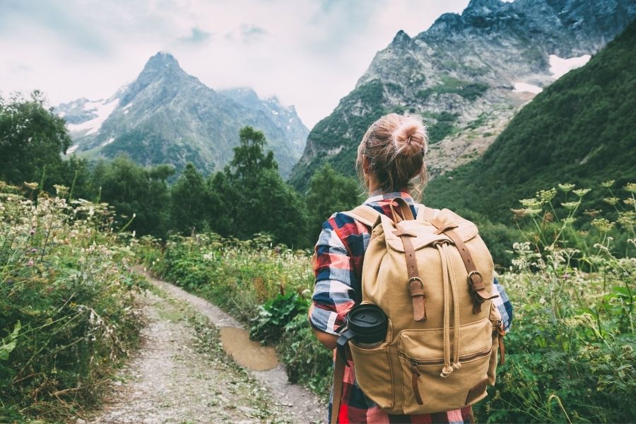
Hiking is a great way to see Switzerland’s trails, waterfalls, and stunning vantage points, including the Alps which run along the southern part of the country
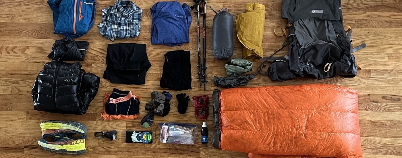
However, proper preparation can make trips more enjoyable and safer. Veteran trekker and hiking enthusiast Silvie Asler, originally from Germany and now based in Zurich, suggests carefully planning out a hike and the items needed, no matter how short the trip is supposed to be.
"We’ve had so many situations where, for example, the cable car wasn’t going, or it was raining," Asler, who is a member of the Zurich Hiker’s Club, told The Local.
"You know, you should always plan your hike and always know if there are shortcuts. Know where the next bus station is, know how long it takes you to get back to the car; properly plan the hike."
There is a difficulty scale (which runs from T1 - the easiest - to T6 - the most difficult) that should be considered during the planning phase, and people should think about their fitness level and limitations.
"Check the difficulty," Asler added. "Also know the level of what your kids or your family are able to do, and always have a Plan B."
With access to numerous routes for hikers of all experience levels, Zurich is a great base to explore from.
Here are four great hikes in and around Zurich that will get you out in the fresh air, build up your experience in nature, and help you train (if you want) for longer, more adventurous hikes in 2023.
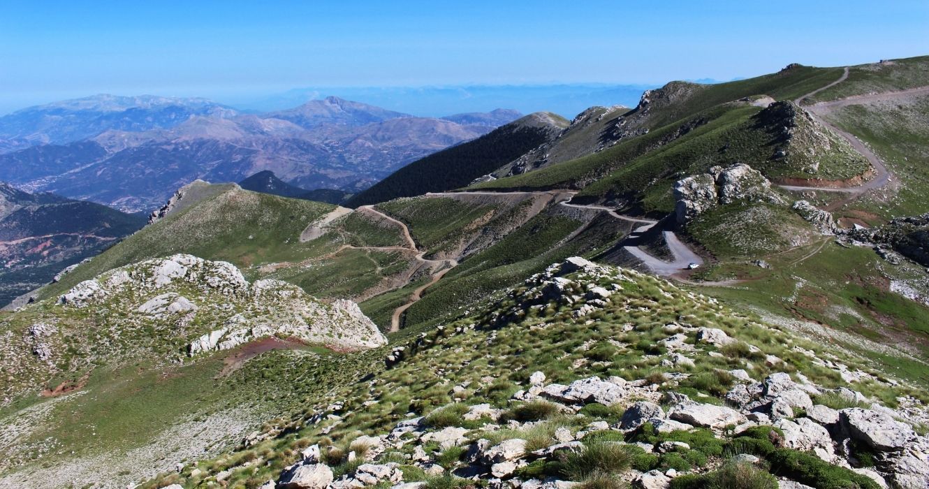
1. Uetliberg
Located next to the city of Zurich is Uetliberg, the tallest hill in the area, measuring at 870m. Providing great views of the city (and the Alps to the south), there are numerous reasons why this hike is popular among locals. One of which is the accessibility on the way up.
There are numerous ways up the hillside, from an easy route to narrow and steep pathways. There is even a station perched atop the hillside, so hikers can opt for a ride down instead of walking back down. There is also a hotel and restaurant offering overnights and packages.
With public transportation, Uetliberg can be reached in about 20 minutes. Otherwise, it’s about 15 minutes by car. The hike is between a T1 and T2 difficultly and takes between 45 and 90 minutes from the bottom to the top, depending on the route you use and your fitness level.