Hiking in Bulgaria: 3 days in the Pirin National Park
-
 Loading...
 - Pavel Svoboda
- 16 Jun 2022
- 253 Views
- 0 Like
- 0 Comment
In our last article Benoit told you about his little solo excursion on the steep paths of Koncheto Ridge in Pirin National Park. Today, it is me, Fabienne, who takes the lead to talk to you about our 3-day getaway in the Pirin National Park with overnight stays in huts. An absolutely superb hiking itinerary but with (slightly) less vertiginous trails than those of Vihren and Kutelo.
We took advantage of a nice weather window to leave our coworking in Bansko for a few days and went to see what the mountain huts looked like in Bulgaria. (spoil alert: it’s “different”)
3 days in the Pirin National Park: key information
- Distance: about 34km (rather 40km if you count all the detours)
- Elevation: 2000m of positive altitude difference and just as much negative
- Difficulty: Average – Hard (depending on the days)
- Accomodation: in huts
- Food: possibility to eat in the huts (but you still need to have snacks and picnics with you for lunch)
- Water: very present on the course
The itinerary is the one we had planned (and realized) but you will see it we made some extras. You will find the few suggestions for detours in the details of the days.
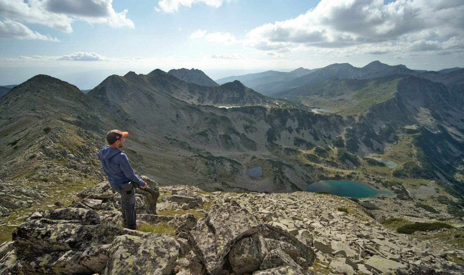
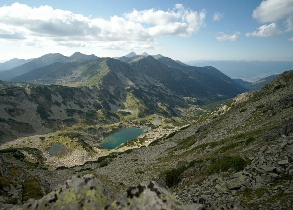
The main assets of this hike? The absolutely incredible landscapes with dozens of spectacular views of the mountain lakes. Spending 2 nights in Bulgarian mountain huts was also one of our strong points. Not so much for comfort, but very clearly for the experience
The weak point? The trail is very rocky at times and it is a bit like a “pawbreaker”. The distances are not necessarily very long, but the days are very busy. 😉
Day 1: From Vihren hut to Sinanitsa hut
It was at 8am that we left our apartment in Bansko to take the first bus to the Vihren hut. We arrived at the hut at around 9:15.
The idea of this day was to reach the Sinanitsa refuge and eventually make a detour to the summit of Sinanitsa (a mountain of the same name). The stage, without the detour to the summit, was announced as being relatively short: 4 hours of walking.
As usual, before we start hiking in the mountains, we take a look at our weather radar application. According to forecasts, a big storm was expected to fall on us at noon… Hmmm… so it left us less than 3 hours to pass the last passes and not get caught in the storm by being exactly on the ridges (being at a pass in a storm is usually REALLY not a good idea).
In short, we briefly hesitated to wait for the storm to pass and leave only in the afternoon, but finally we looked at the map and the elevation changes and thought it would be feasible to do it in 3 hours. (well, it was mainly Benoit who thought that… I was a little more in doubt). Read More...