The Polish Tatra Mountains: Trail Descriptions for Advanced Hikers
-
 Loading...
 - Sharon Lambert
- 12 Jul 2022
- 110 Views
- 0 Like
- 0 Comment
8 Tatras Mountains Hiking Trails
This is a comprehensive guide to the Polish routes in the Tatra Mountains for advanced hikers. The names are left in the original, as the signs on the trails read only in Polish.
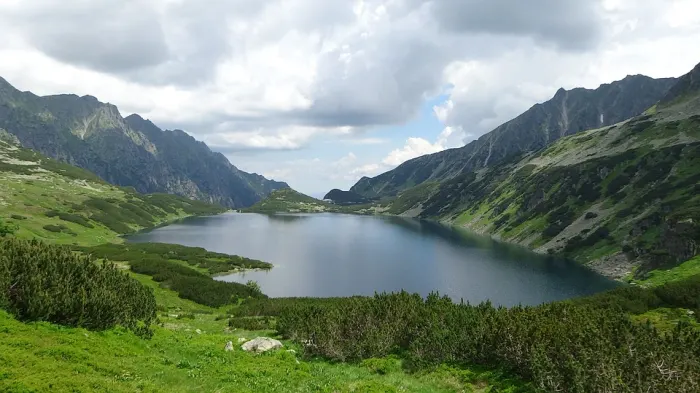
1. Szpiglasowy Wierch Through Dolina PiÄ™ciu Stawów
A very interesting route. There is one narrow shelf over the precipice on the way, but it’s very short and there’s a chain that will help you. Then, you’ll need to climb a bit right before the mountain pass (Szpiglasowa PrzeÅ‚Ä™cz), again with the assistance of chains. This is the perfect trail if you want to make a transition from easy routes to the more challenging ones.
From Dolina PiÄ™ciu Stawów follow the yellow trail up to Szpiglasowy Wierch.
Trail Map - Yellow Trail
Time - 2h 20 min
Distance - 5.5 km
Highest point - Szpiglasowy Wierch, 2172 m
Altitude - 504 m
Start and finish - Dolina PiÄ™ciu Stawów – Szpiglasowy Wierch
2. Rysy
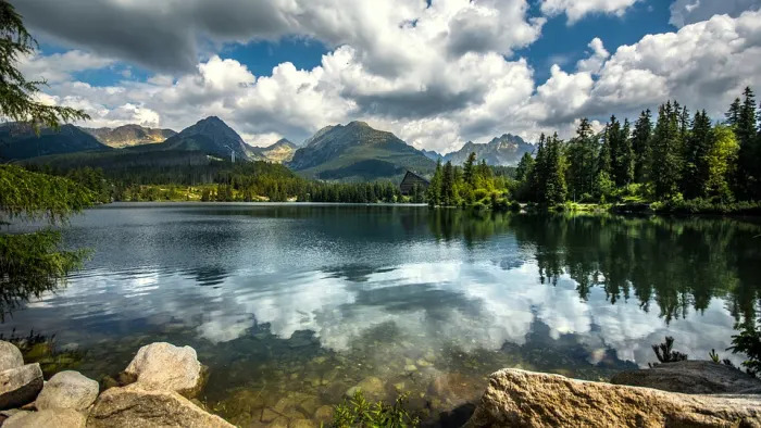
Rysy is the highest peak of the Polish Tatras—for this reason it is extremely popular and crowded in the summer. It requires a lot of stamina. About a half of the way is covered in chains, but according to experienced hikers, not all of them are necessary. There is a moment that may make your heart beat faster, when you have to step over a narrow rock shelf with a 500-meter precipice right under it. It is possible to go down on the Slovakia side, which is much easier.
From Morskie Oko follow the red trail up to Rysy.
Trail Map - Red Trail
Time - 3h 50 min
Distance - 5 km
Highest point - Rysy, 2499 m
Altitude - 1104 m
Start and finish - Morskie Oko – Rysy
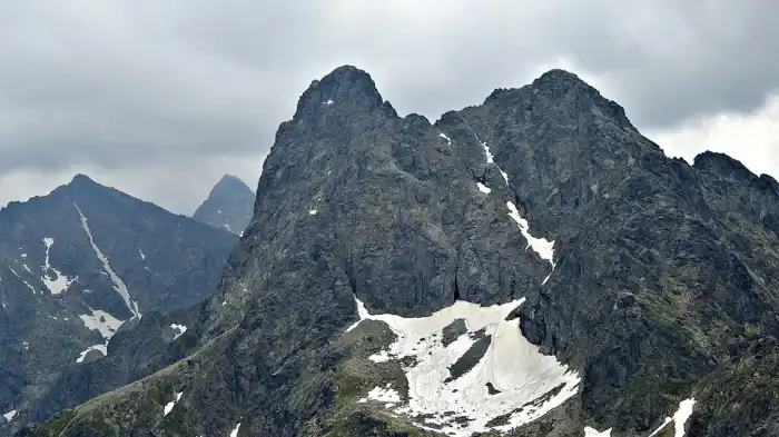
3. Åšwinica From Kasprowy Wierch
The trail definitely isn’t for inexperienced hikers; it involves a fair deal of climbing. There is one particularly dangerous spot called Å»leb Blatona, where many tourists have died (however, mainly before the chains were installed and in winter). Å»leb Blatona is a 50-meter walk on a wet rock shelf over a precipice, so you need to be particularly careful there. But if you’ve got some experience in the Tatra Mountains, if you’ve reached Giewont, Szpiglasowy Wierch, or KoÅ›cielec, Åšwinica is the next place to go!
From Kasprowy Wierch follow the red trail to Åšwinica. You’ll walk past Sucha PrzeÅ‚Ä™cz, Liliowe and Åšwinicka PrzeÅ‚Ä™cz.
Trail Map - Red Trail
Time - 1h 40 min
Distance - 3.5 km
Highest point - Åšwinica, 2301 m
Altitude - 316 m
Start and finish - Kasprowy Wierch – Åšwinica